Day 2: Distance 18km ascent 500m. Trail mostly track and path with 2 very short road sections (unless staying in Roundwood then additional 2-3km of road walking).

Though Day 2 is only 18km long Grainne found this the most demanding day physically. It has 4 small sections of road walking but the majority of the day you're walking on sheep paths and tracks some of which are quite remote. If walking this stage at the weekend you are likely to meet other walkers as the all the walks through Crone wood, and on up to Maulin and Djouce mountains, are popular day walks for Dubliners. However if walking off season and/or midweek one might not meet anyone at all-so it would make sense to notify someone of your plans and timeframes.

The terrain is 'off road' with some stiff climbs up but, unless you decide to detour to the top of Djouce instead of walking around it's shoulder, the rounded top of White hill is the only summit you'll cross. There are sections of boardwalk across the boggy tops these must be great in very wet weather but are a little narrow if using poles and are also a little bit pitted in places so you could trip. The BW are there to protect the bog but after a while I preferred to walk beside the BW on the drier downhill sections. The only issue with this section was that-after the road walk above Lough Tay when you turn right off the road into a section of forestry- we found timber was being felled and the workers had changed/removed some of the signs and provided some paltry markings for an 'alternative' route. This is probably just a temporary measure but as you can see Roundwood village below you it's easy enough to figure out the route down yourself.
The are plenty of scenic 'wow' moments today especially if you get a break in the weather. But the views down onto Powerscourt Waterfall and down onto Lough Tay are definitely amongst the best.

If you were camping, and you were fit enough to tackle an additional climb on your first day, then this would be a remote and lovely place to camp (it's within the National Park where camping is forbidden so I'd be discrete and walk upsteam off the track to keep 'off their radar').
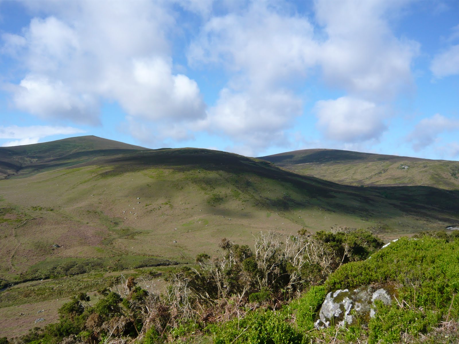
War hill in foreground Djouce(L) and Tonduff South (R) in the background.
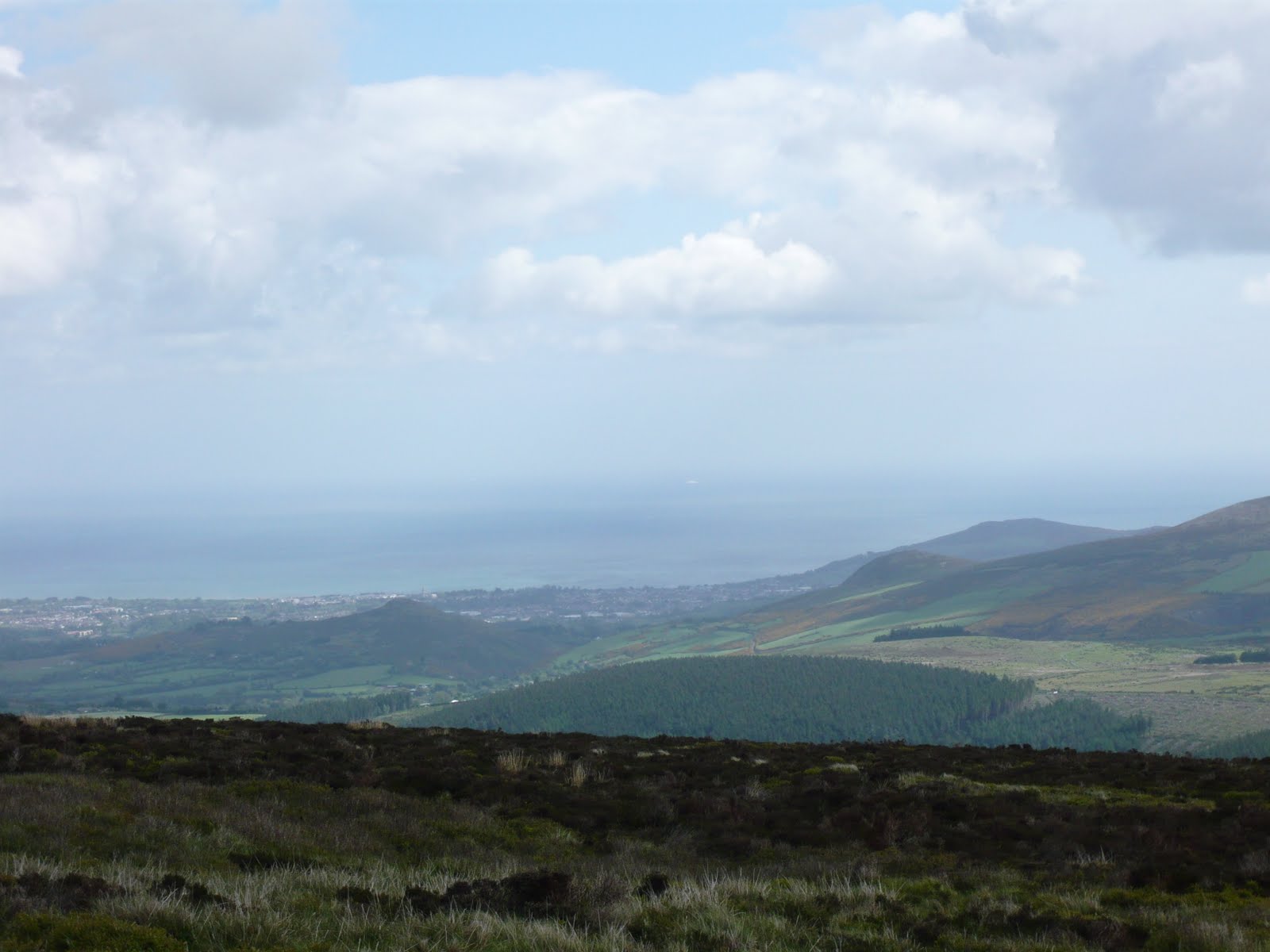
From the shoulder of Djouce looking out over the Dublin/Wicklow Coastline

Blown away by the view! Looking across to Luggala from Boardwalk Whites Hill

Grainne at the JB Malone Memorial with Lough Tay below us.
We opted to stay at The Skylarks rest in Roundwood an independent hostel that provides breakfast. It's 2km off the WW. Having planned to meet up with a friend who wanted to walk with us for the last 10km we were really looking forward, in addition to the joy of her company of course, the prospect of getting lift from her husband to the hostel! However she didn't turn up so we had an extra trudge to the hostel. No matter how long or short the day the last 4 km always kill me so I was dragging my heals a bit at this point. Roundwood has a good variety of places to eat or shops to buy supplies and it's only short stroll from the hostel. If you were taking the camping option I'd push on for a kilometer or so beyond Oldbridge to overnight at the mountain hut at Brusher gap as an option for night 2 and I'll do that the next time.
We heard coo coos calling, saw deer, hares and lots of skylarks. Overall a superb days walking... despite the weather.
No comments:
Post a Comment